HIST 7219: Digital Space and Place
Professor Cameron Blevins
Meserve Hall 206, Weds. 4:30-7:00pm
Course Description
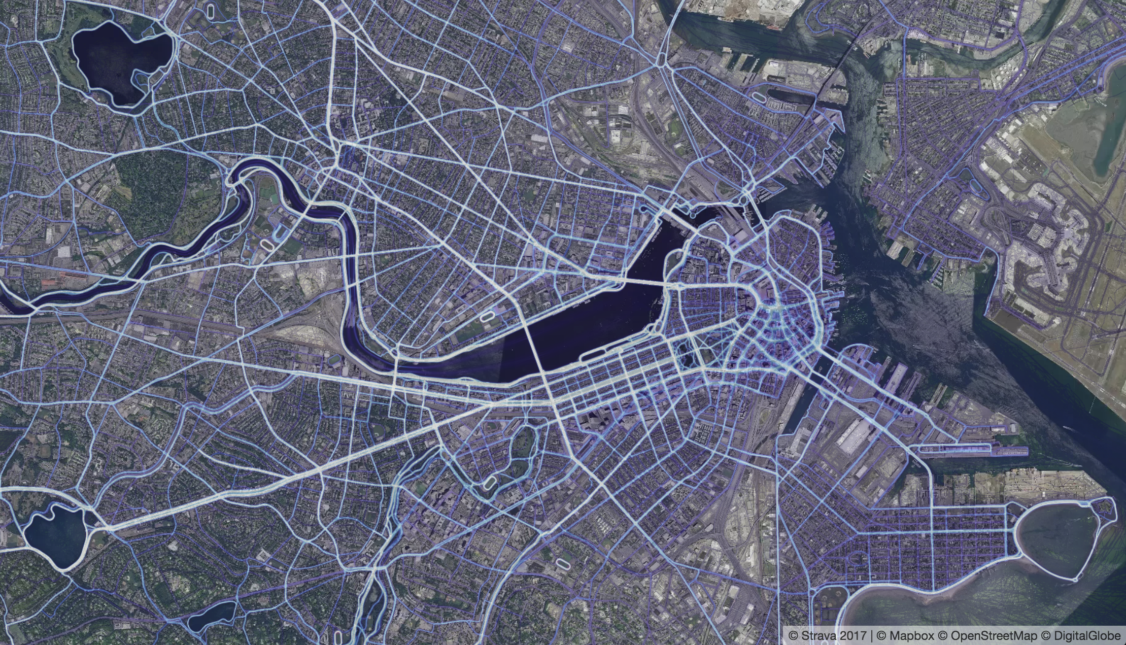
What is the “spatial turn” and how does it intersect with the digital humanities? This course offers an introduction to major theories of space and place and how they are being applied through technologies such as Geographic Information Systems (GIS) and 3D modeling. This is a hands-on course in which students will develop digital skillsets, including creating maps and visualizations, working with and analyzing spatial data, and building virtual models of historical buildings - all within a broader humanities framework of spatial theory. Classes will consist of a combination of discussion of readings and hands-on workshops. Students will emerge from the course with spatial literacy: the ability to critically read, analyze, and interpret a wide variety of spaces and places (neighborhoods, landscapes, etc.) along with ways of representing these geographies in maps, narratives, and virtual interfaces. Finally, students will apply these skills to the major applied component of this course: a group project to recreate, analyze, and communicate the historical space and place of Beacon Hill, Boston’s center of African-American life during the 1800s.
Learning Goals
- Theory: An overview of major theories of space and place
- Methods: Learning digital tools and methods to study and represent space and place
- Spatial Literacy: The ability to critically read, analyze, and interpret maps, visualizations, and digital scholarship related to space and place
Note: This course satisfies the electives requirement for the Graduate Certificate in Digital Humanities.